

Introduction
This section represents an on-going effort by the Antrim Conservation Commission, in conjunction with the Antrim Planning Board and the Antrim Historical Society to update portions of the Open Space & Recreation and Land Use section of the 1985 Master Plan. The creation of the Conservation and Preservation section of the Master Plan is authorized by NH statute RSA 674:2, which states "A conservation and preservation section...may provide for the "preservation, conservation, and use of natural and man-made resources."
The purpose of this section is multifold: first, it is intended to describe the natural and man-made features of Antrim that are important and thought to have significance. This information is intended to enable better-informed decisions as to the development of certain areas of Antrim. Second, it intends to supply the residents with information about sensitive areas, natural areas, natural resources and important natural and/or man-made features which may need special protection. An additional benefit of supplying these data is that the public may become better educated about the significance, sensitivity, and value of the natural and man-made environment. It is hoped that this knowledge enables people to think about the appropriateness (or inappropriateness) of using certain lands for certain uses. For example, in the past, it was generally thought that wetlands were lands of poor value and should be filled in. Today, it is widely recognized that wetlands provide valuable storage retention areas for the attenuation of flood waters, as well as important ecological niches and habitat for numerous species which are beneficial to the natural environment and man alike. It is the opinion of the Conservation Commission that the Town’s present and future growth needs be well planned, balanced growth, which is manageable and sustainable.
Future actions made on the basis of the information in this section may be implemented through a variety of ways, which will be discussed in more detail later. Courses of action may include but not be limited to such things as amendments to the zoning ordinance, or possibly design/development standards written into the Site Plan Review Regulations to address specific concerns.
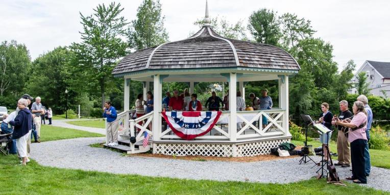
This Plan is a result of an evaluation of the natural and man-made resources in Antrim, as identified by members of the Conservation Commission, the Planning Board, the Historical Society, students at Great Brook Middle School and individual town residents. The concepts and ideas presented herein came from numerous discussions and forums including, and not limited to, the town-wide profile entitled “Antrim Next” held in May of 1998. The features identified and described herein are also illustrated on maps, some of which are included in this report, while other are on file at the Town Offices.